Escalante River
Escalante River
The last river of its size to be mapped in the lower 48 states, cutting a maze of slickrock canyons to Lake Powell.
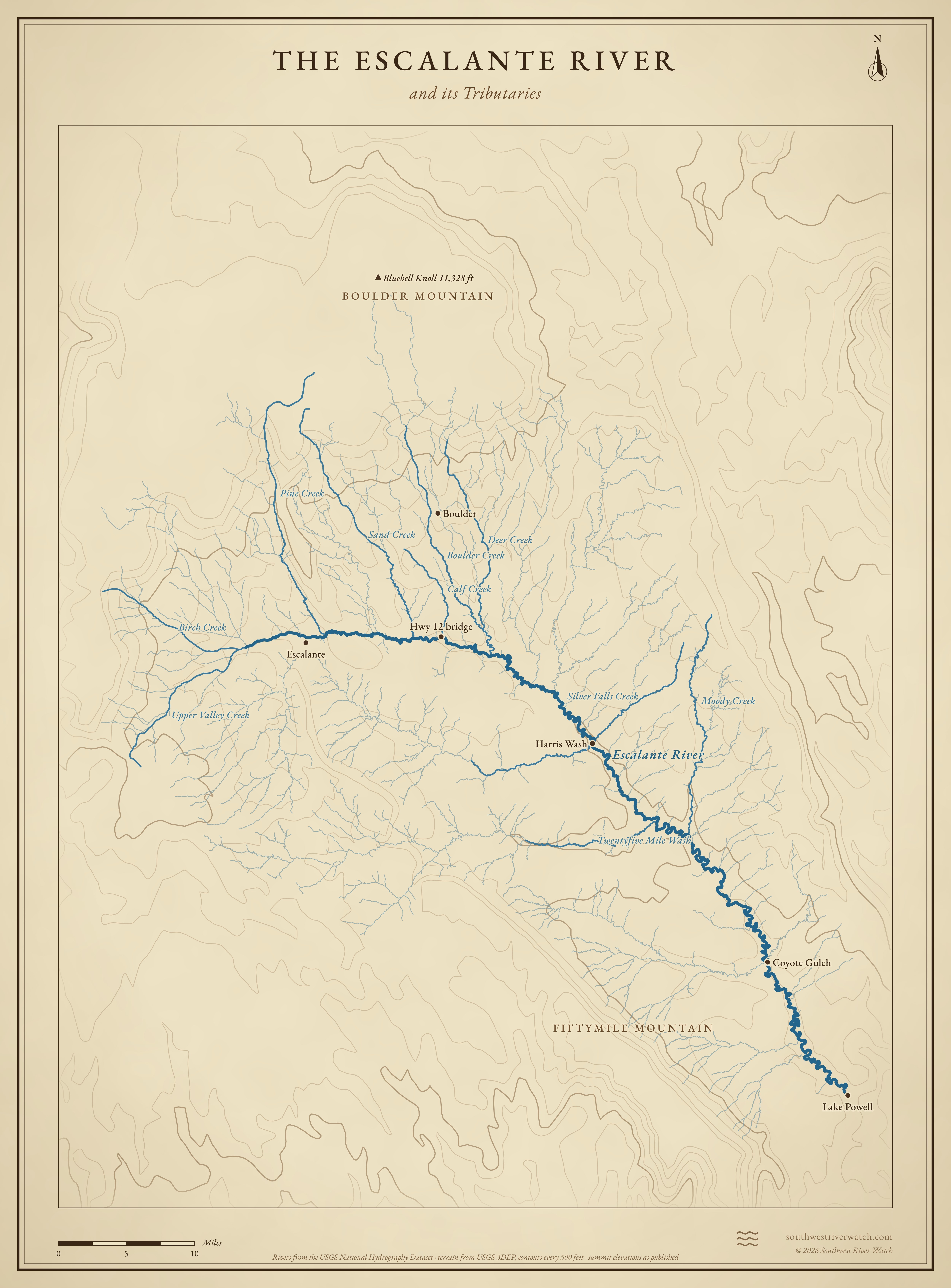
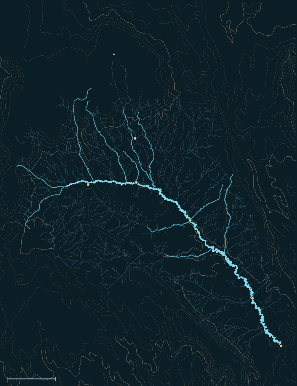 Boulder MountainFiftymile MountainEscalante RiverBluebell Knoll 11,328 ftEscalanteHwy 12 bridgeBoulderHarris WashCoyote GulchLake PowellPine CreekSand CreekBoulder CreekMoody CreekDeer CreekTwentyfive Mile WashBirch CreekSilver Falls Creek10 miles
People and the river

- For centuriesFremont and Ancestral Puebloan people farmed and stored grain in its canyons.1
- 1866A cavalry patrol under Capt. James Andrus reached the headwaters near the present town of Escalante.2
- 1872Almon Thompson of Powell's survey mapped it and named it for the 1776 Domínguez–Escalante expedition, the last major river discovered in the contiguous U.S.2,3
- 1996Most of its canyons became part of Grand Staircase-Escalante National Monument.1
Biggest flows
~7×
the largest gauged flood: the biggest flood found in sand left in the canyon's alcoves, about 900–1,000 years ago. Its flow in cfs was never published; nine floods from about A.D. 450–1550 are dated but not measured.4,5
estimatedMeasured: a USGS gauge reading. Estimated: reconstructed after the fact from high-water marks or flood deposits. Provisional: USGS readings not yet reviewed.
Floods that mattered
2006
Floods destroyed most of the roads in Grand Staircase-Escalante National Monument.7
Clustered floods
Canyon deposits show big floods bunched around 1,000 and 500 years ago and again in historic times.4
The Escalante River and its Tributaries
Sources
- BLM: Grand Staircase-Escalante National Monument
- Escalante River (Wikipedia)
- American Rivers: Escalante River
- Webb (1985): Late Holocene flooding on the Escalante River
- USGS SIR 2020-5065: Flood-frequency estimation for very low annual exceedance probabilities (Escalante River case study, table 8)
- NOAA National Water Model archive of USGS 15-minute readings (provisional)
- NWS: Flood safety in Utah