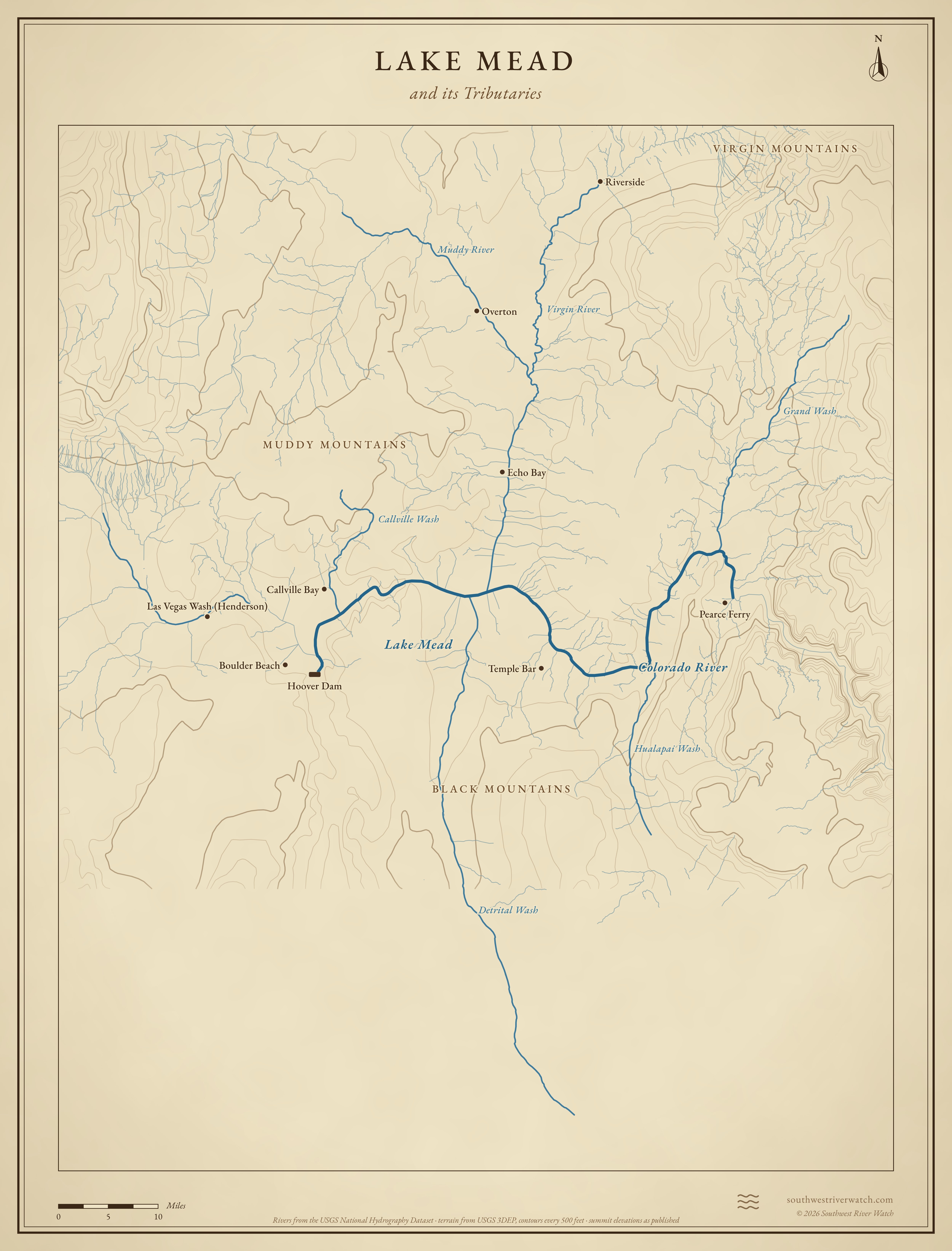
Where Lake Mead's water comes from
The reservoir behind Hoover Dam, at the end of the Grand Canyon, the Virgin River and Las Vegas Wash.
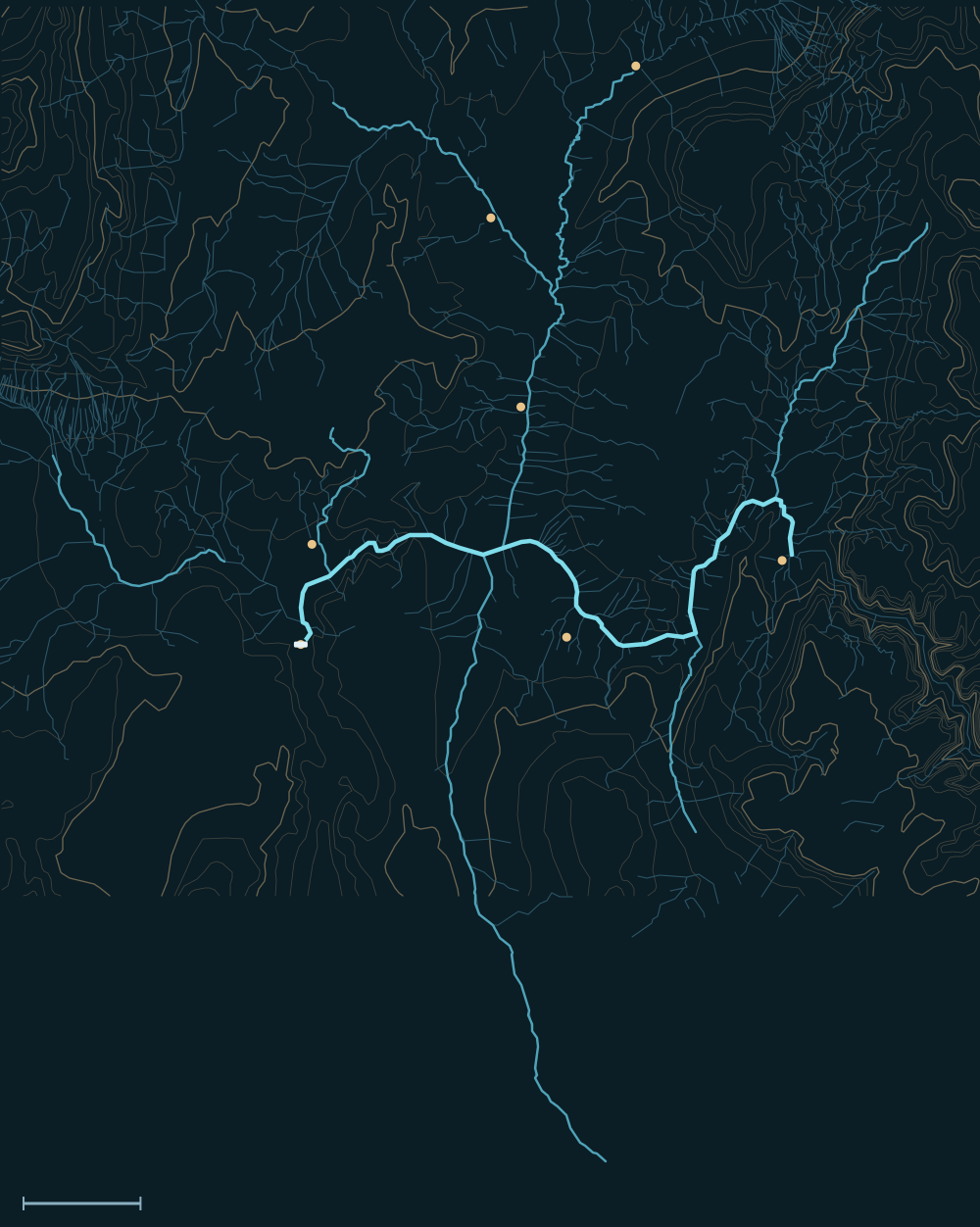 Lake MeadVirgin MountainsBlack MountainsMuddy MountainsColorado RiverPearce FerryRiversideOvertonEcho BayTemple BarCallville BayHoover DamDetrital WashVirgin RiverGrand WashMuddy RiverHualapai WashCallville Wash10 miles

Headwaters
The Colorado through the Grand Canyon
Most of Lake Mead's water is the Colorado River, released from Lake Powell at Glen Canyon Dam and carried through the Grand Canyon. It enters the lake near Pearce Ferry, at the east end.1,2
The Virgin and the Muddy
The Virgin River, from the plateaus above Zion, and the spring-fed Muddy River from the Moapa Valley enter the Overton Arm at the lake's north end.3,1
Las Vegas Wash
Las Vegas Wash carries treated wastewater and runoff from the Las Vegas Valley into Las Vegas Bay. It is a small share of the lake's water, but it flows every day, and it carries the valley's storm floods.4
The river, top to bottom

- Pearce Ferry & Gregg BasinThe Colorado enters from the Grand Canyon.
- Grand, Hualapai & Detrital washesLong desert washes from Arizona.
- Overton ArmThe Virgin and Muddy rivers join.
- Callville BayCallville Wash comes in from the north.
- Las Vegas BayLas Vegas Wash brings the valley's water.
- Hoover DamThe lake ends at Black Canyon; the river continues to Lake Mohave.
Main tributaries
| Stream | Joins | Notes |
|---|---|---|
| Colorado River | East end | Releases from Lake Powell plus Grand Canyon side rivers. |
| Virgin River | Overton Arm | Snowmelt and flash floods from southern Utah. |
| Muddy River | Overton Arm | Spring-fed; floods with Meadow Valley Wash. |
| Las Vegas Wash | Las Vegas Bay | Treated wastewater and urban runoff. |
| Detrital & Hualapai washes | Arizona side | Dry except after storms. |
Why it matters for floods
Hoover Dam holds the Colorado's floods. The lake's fast floods come from storms over the desert: the Virgin and Muddy rivers, Las Vegas Wash and the big Arizona washes can all run hard after heavy rain, while the lake itself rises only a little.5,6 The live map watches the gauges along the way.
Lake Mead and its Tributaries