Lake Mead
Lake Mead
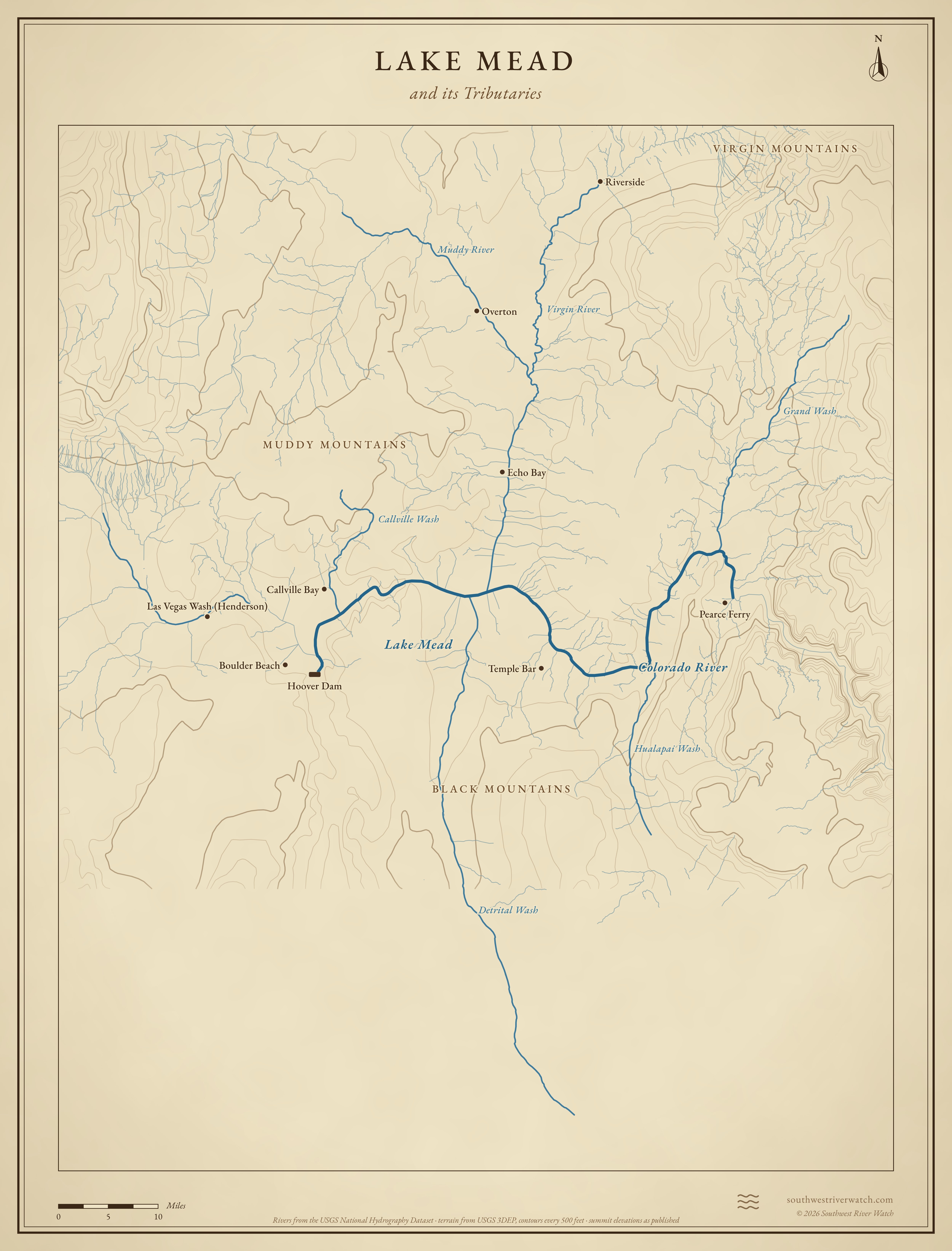
The reservoir behind Hoover Dam, the largest in the U.S. when full, filling the lower Virgin and Muddy valleys and the Colorado's last canyons.
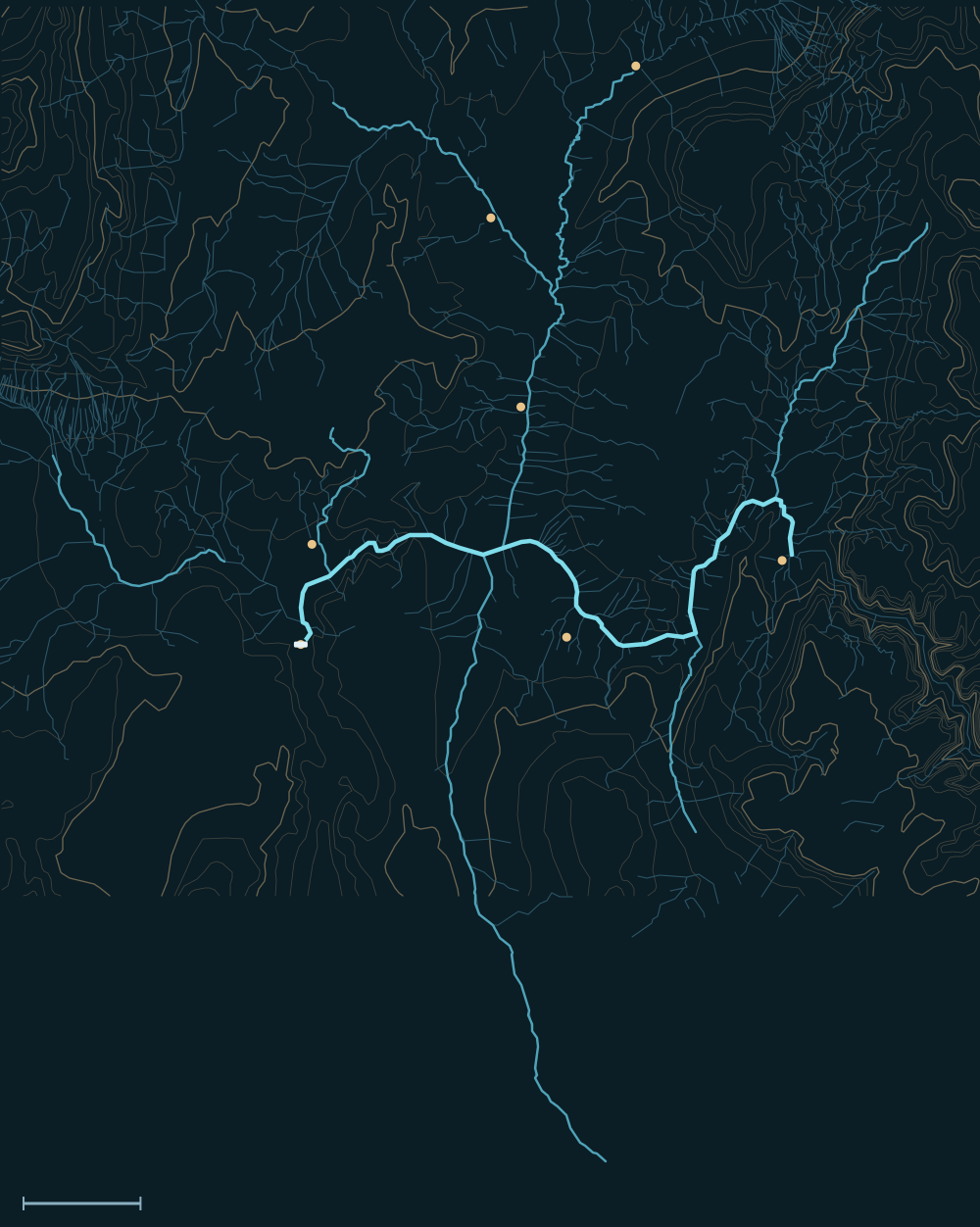 Lake MeadVirgin MountainsBlack MountainsMuddy MountainsColorado RiverPearce FerryRiversideOvertonEcho BayTemple BarCallville BayHoover DamDetrital WashVirgin RiverGrand WashMuddy RiverHualapai WashCallville Wash10 miles
People and the river


- For centuriesAncestral Puebloans farmed the Muddy and Virgin valleys; the Southern Paiute lived along the river.1
- 1865Latter-day Saint settlers founded St. Thomas near where the Muddy meets the Virgin.2,3
- 1931–1936Hoover Dam was built; Lake Mead began to rise in 1935.4,5
- June 11, 1938St. Thomas's last resident rowed away from his home as the lake covered the town; drought has uncovered it several times since.2,3
Biggest flows

1,225.44 ft
record lake level, July 24, 1983; water ran over the spillways from July 3 to Sept 66
measuredMeasured: a USGS gauge reading. Estimated: reconstructed after the fact from high-water marks or flood deposits. Provisional: USGS readings not yet reviewed.
Floods that mattered
July 8, 1999: Las Vegas
A thunderstorm turned Flamingo Wash and others into rivers that destroyed homes in a mobile home park and killed two people; Las Vegas Wash carried record flows to the lake.8,9,7
Jan 2005: Muddy and Virgin rivers
Rain and early snowmelt brought record floods down Meadow Valley Wash, the Muddy River and the Virgin.7
Lake Mead and its Tributaries
Sources
- NPS: Lake Mead National Recreation Area
- NPS: St. Thomas, Nevada
- Travel Nevada: St. Thomas ghost town
- Bureau of Reclamation: Hoover Dam
- Hoover Dam (Wikipedia)
- Lake Mead overflows into the spillways, July 1983
- USGS: Flooding in Clark and Lincoln Counties, Nevada, Dec 2004 and Jan 2005 (FS 2006-3124)
- 1999 Las Vegas flood (Wikipedia)
- Las Vegas Sun: 10 years after deadly flood