Lake Powell
Lake Powell
Glen Canyon, drowned by Glen Canyon Dam, now the Upper Basin's great reservoir.
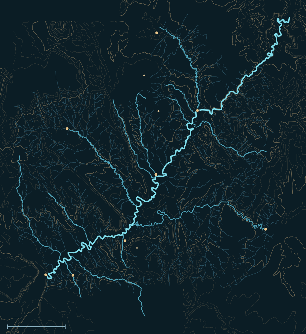 Lake PowellHenry MountainsColorado RiverNavajo Mountain 10,346 ftMount Ellen 11,522 ftMount Hillers 10,723 ftHanksvilleHiteBullfrog / Halls CrossingEscalante (Hwy 12)Mexican HatRainbow BridgeAntelope CanyonLees FerrySan Juan RiverEscalante RiverDirty Devil RiverNavajo CreekWahweap CreekBullfrog CreekNorth Wash25 miles

People and the river

- For centuriesAncestral Puebloan, Paiute and Navajo people lived and travelled in Glen Canyon.1
- Nov 7, 1776The Domínguez–Escalante expedition forded the Colorado at the Crossing of the Fathers, now under Padre Bay.2,3
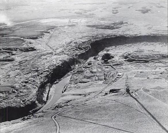
- 1956–1966Glen Canyon Dam was built (after the Echo Park compromise); the river began backing up in 1963.4,5
- 1980The lake first reached full pool, 3,700 ft.4
Biggest flows

Measured: a USGS gauge reading. Estimated: reconstructed after the fact from high-water marks or flood deposits. Provisional: USGS readings not yet reviewed.
Floods that mattered
June–July 1983
A huge snowmelt year filled the lake. Cavitation tore holes in the spillway tunnels, and plywood flashboards on the gates helped hold back the lake until the flood passed.7,6,8
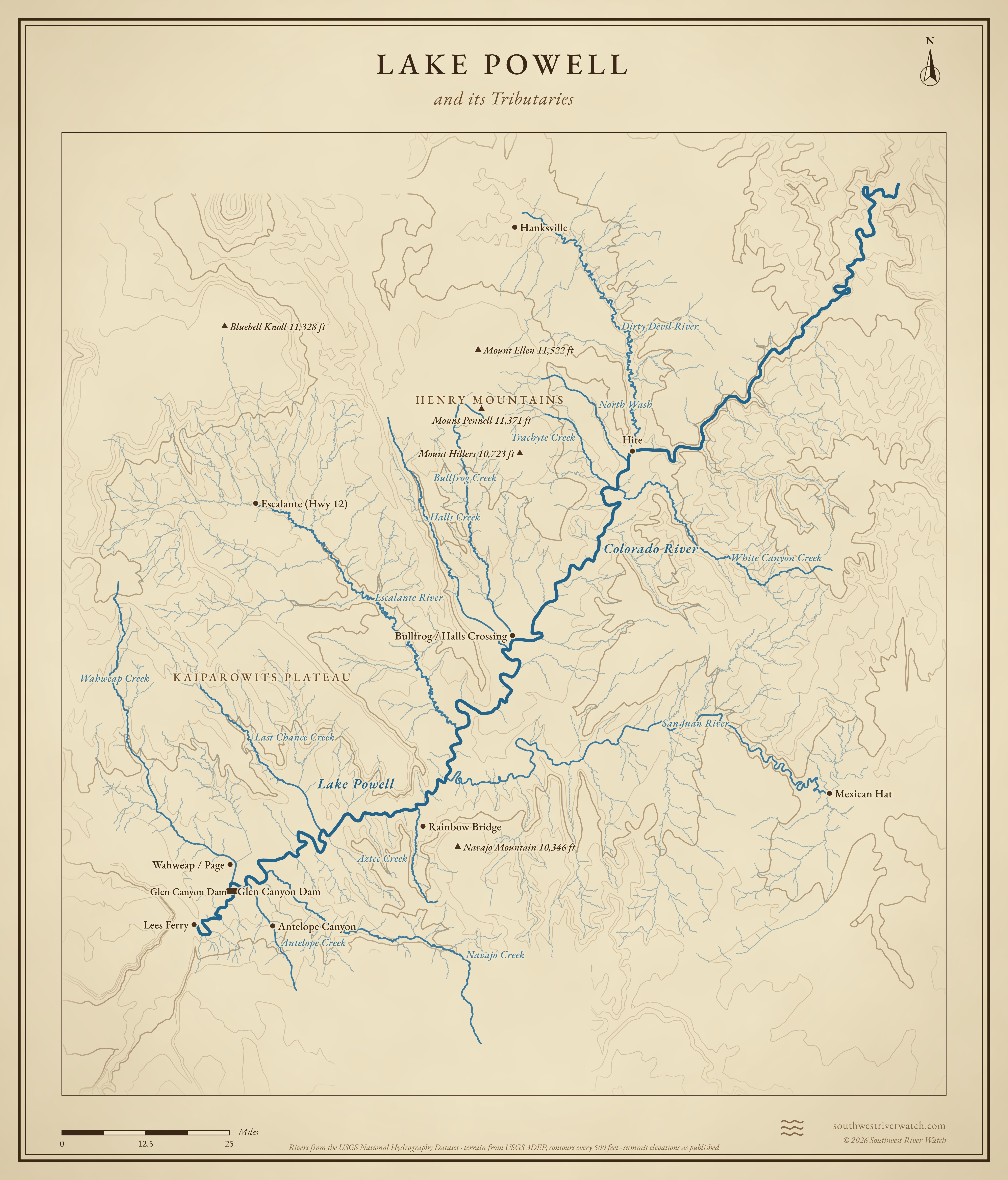
Lake Powell and its Tributaries
Sources
- NPS: Glen Canyon National Recreation Area
- Crossing of the Fathers (Wikipedia)
- NPS: Crossing of the Fathers, Explorers and Settlers
- Bureau of Reclamation: Glen Canyon Unit
- Utah Humanities: No Dam Here! The Echo Park controversy
- ASDSO: Glen Canyon Dam case study, 1983
- Bureau of Reclamation: Glen Canyon Dam spillway damage, 1983 (PAP-0525)
- High Country News: 1983 at Glen Canyon Dam