Salt River
Salt River
The river that made Phoenix: Hohokam canals, one of the first big dams of the Reclamation era, and floods that took out the Valley's bridges.
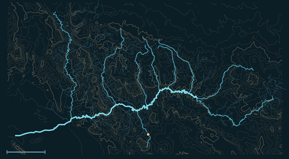 White MountainsMogollon RimSierra AnchaMazatzal MountainsSuperstition MountainsSalt RiverGlobeVerde RiverBlack RiverCarrizo CreekPinal CreekWhite River25 miles
People and the river

- About A.D. 450–1450The Hohokam built a network of canals and laterals from the Salt across the valley, then left it around 1400–1450.1,2
- 1867–68Jack Swilling's company dug out the old Hohokam canals and irrigated again; Phoenix grew beside them.1
- 1903Valley landowners formed the Salt River Valley Water Users' Association in February, pledging their land against federal reclamation loans; the Salt River Project was authorized on March 14.3,1
- 1911President Theodore Roosevelt dedicated Roosevelt Dam on March 18. At 280 feet it was the tallest masonry dam in the world; its supplies came up a 60-mile road built from the railhead at Mesa.4,5,1
- 1925–1930The water users built three more dams downstream with their own money: Mormon Flat (Canyon Lake, 1925), Horse Mesa (Apache Lake, 1927) and Stewart Mountain (Saguaro Lake, 1930).6,7,8
- 1996Roosevelt Dam was resurfaced in concrete and raised 77 feet, adding flood-control space.5
Biggest flows
Measured: a USGS gauge reading. Estimated: reconstructed after the fact from high-water marks or flood deposits. Provisional: USGS readings not yet reviewed.
Floods that mattered
February 1891
The flood left Phoenix without a rail connection for three months.9
March 1978
The highest flow on the Salt through Phoenix since 1920.10
1980
Floods destroyed or damaged 11 of the 13 bridges across the Salt in the Valley.11
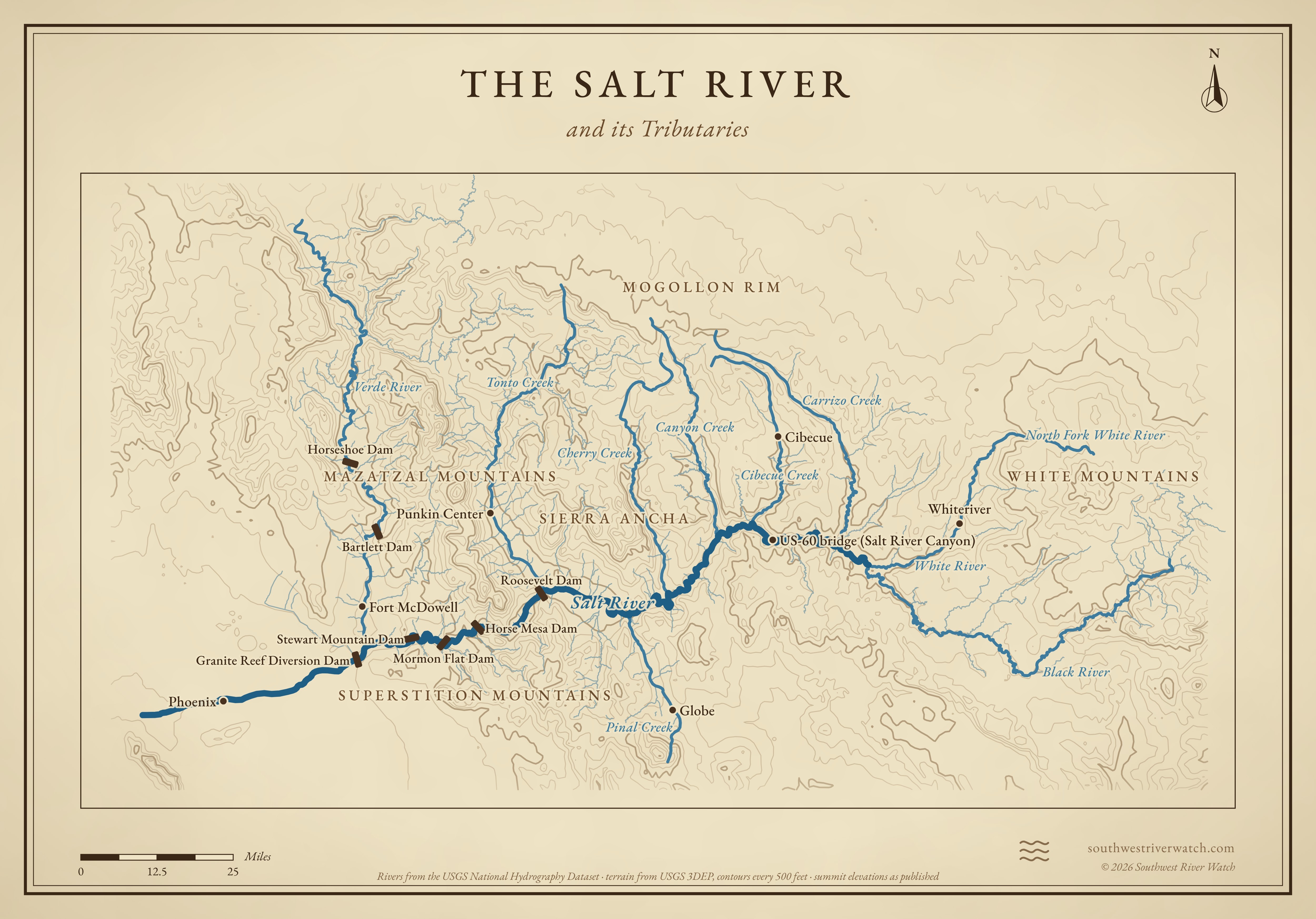
The Salt River and its Tributaries
Sources
- Water History: The First Five, a brief history of the Salt River Project
- SAH Archipedia: The Salt River and Canals
- Bureau of Reclamation: Salt River Project
- Bureau of Reclamation: Theodore Roosevelt Dam
- Wikipedia: Theodore Roosevelt Dam
- SRP: Mormon Flat Dam and Canyon Lake
- SRP: Horse Mesa Dam and Apache Lake
- Historic American Engineering Record: Stewart Mountain Dam
- Wikipedia: Phoenix flood of 1891
- USGS: Floods of October 1977 in southern Arizona and March 1978 in central Arizona (WSP 2223)
- 12 News: the 1980 Phoenix floods