Where the San Rafael River comes from
About 90 miles from the Wasatch Plateau, across Castle Valley and the San Rafael Swell, to the Green River.
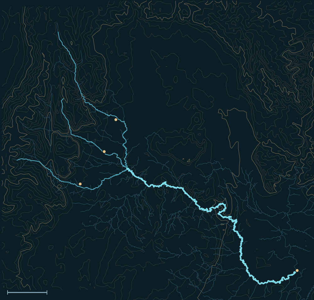 Wasatch PlateauSan Rafael SwellSan Rafael RiverHuntingtonCastle DaleFerronGreen River confluenceHuntington CreekFerron Creek10 miles
Headwaters
Three creeks off the Wasatch Plateau
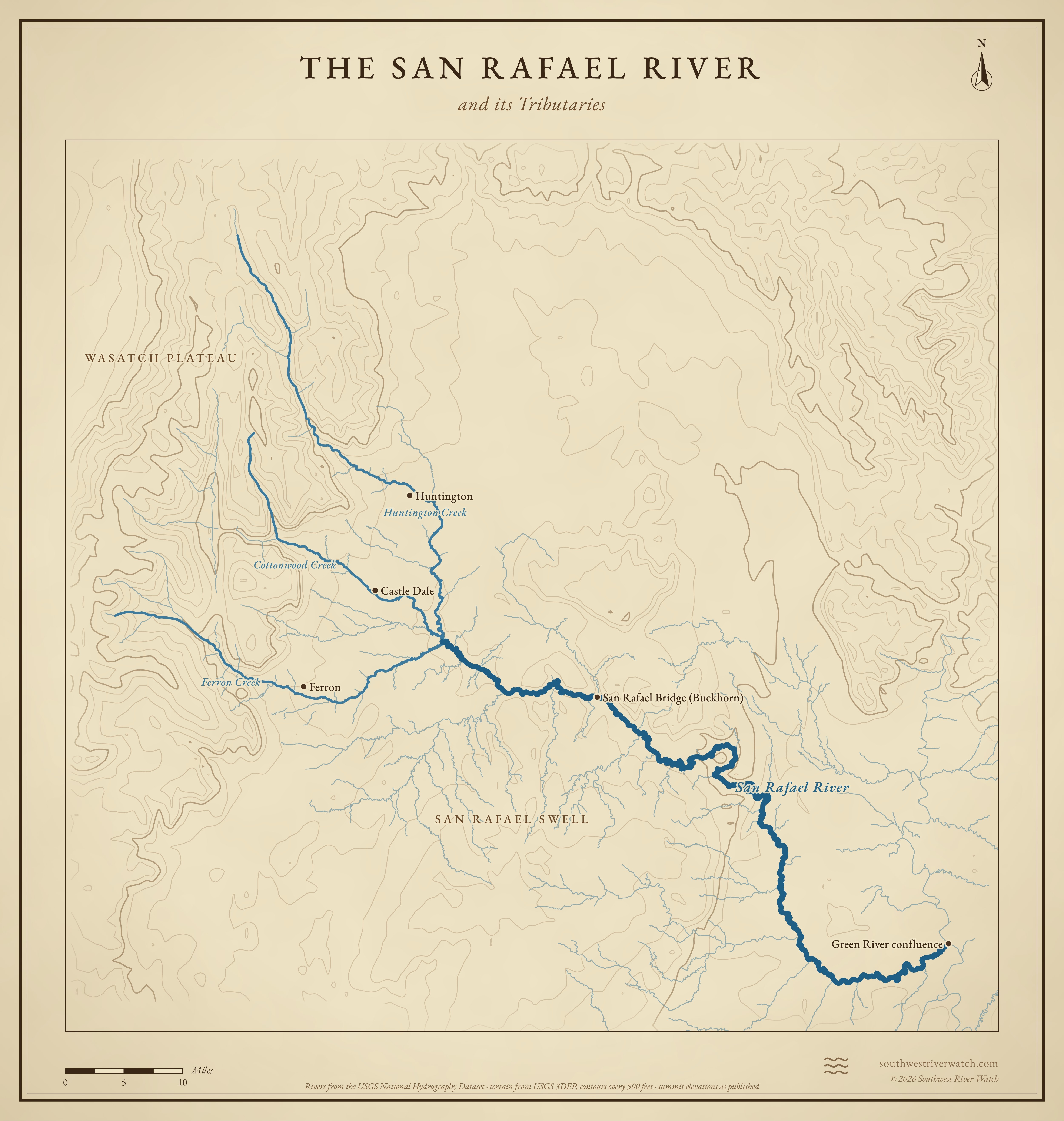
Huntington, Cottonwood and Ferron creeks start high on the Wasatch Plateau, where their snowmelt is stored in reservoirs, and come down through Castle Valley past Huntington, Castle Dale and Ferron. They join below Castle Dale to form the San Rafael.1,2
Reservoirs and farms
Joes Valley Reservoir holds Cottonwood Creek for Reclamation's Emery County Project; Electric Lake, on a tributary of Huntington Creek, was built by a utility to serve a coal-fired power plant; Millsite Reservoir is on Ferron Creek. Their water irrigates Castle Valley's farms.3,4,5,6,7
Across the Swell
Below the valley the river runs east-southeast along the north side of the San Rafael Swell, through the Little Grand Canyon and the Upper and Lower Black Box slot canyons, out through the San Rafael Reef, and joins the Green about 10 miles below the town of Green River.2,8
The river, top to bottom
- Wasatch PlateauHuntington, Cottonwood and Ferron creeks and their reservoirs.
- Castle ValleyThe creeks pass Huntington, Castle Dale and Ferron and its farms.
- Below Castle DaleThe three creeks meet: the San Rafael begins.
- San Rafael BridgeBuckhorn Wash comes in; the 1937 CCC bridge.
- Little Grand CanyonThe gorge below the Wedge Overlook.
- Black BoxesUpper and Lower Black Box slot canyons.
- San Rafael ReefThe river leaves the Swell for open desert.
- Green RiverJoins about 10 miles below the town of Green River.
Main tributaries
| Stream | Joins | Notes |
|---|---|---|
| Huntington Creek | Head of the river | From the Wasatch Plateau; Electric Lake on a tributary. |
| Cottonwood Creek | Head of the river | Joes Valley Reservoir; past Orangeville and Castle Dale. |
| Ferron Creek | Just below the head | Millsite Reservoir; past Ferron. |
| Buckhorn Wash | San Rafael Bridge | Buckhorn Draw road; the Buckhorn pictograph panel. |
Why it matters for floods
Most of the creeks' snowmelt is stored on the plateau and used in Castle Valley, so the river across the Swell can run low. Its floods come from summer and fall thunderstorms over the Swell, whose bare rock sends water into the canyons fast; in a slot like the Black Boxes there is nowhere to climb out.2,7 The live map watches the gauges along the way.
The San Rafael River and its Tributaries
Sources
- Emery County, Utah (Wikipedia)
- San Rafael River (Wikipedia)
- Bureau of Reclamation: Emery County Project
- Joes Valley Dam (Wikipedia)
- Using RiverWare as a real-time water management tool in Emery County, Utah
- Emery Water Conservancy District: reservoirs
- Edward A. Geary: A History of Water Development in Emery County, Utah
- Visit Utah: Little Grand Canyon