San Rafael River
San Rafael River
A desert river born of three mountain creeks, crossing the San Rafael Swell to the Green.
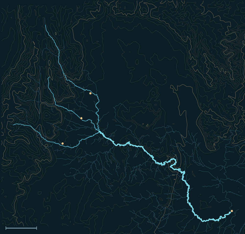 Wasatch PlateauSan Rafael SwellSan Rafael RiverHuntingtonCastle DaleFerronGreen River confluenceHuntington CreekFerron Creek10 miles
People and the river
- 1,500–4,000 years agoLate Archaic people painted the Barrier Canyon-style figures of the Buckhorn panel in Buckhorn Wash, just above the river; Fremont people later painted over some of them.1,2
- 1830s–1850sPack trains on the northern route of the Old Spanish Trail crossed the Green and went around the north side of the San Rafael Swell toward Salina.3
- 1853Capt. John W. Gunnison's railroad survey followed the trail, forded the Green and reached the San Rafael Reef.4
- 1877Families from Sanpete County began settling Castle Valley that fall, at the future sites of Huntington, Ferron, Castle Dale and Orangeville, on the creeks that form the San Rafael.5
- 1880Emery County was created on February 12, named for territorial governor George W. Emery.6
- 1937The Civilian Conservation Corps built the San Rafael Bridge near Buckhorn Wash, a single-span suspension bridge of wood, steel and concrete, one of two of its kind known in Utah.7
- 1996Utah and Emery County restored the vandalized Buckhorn panel.2
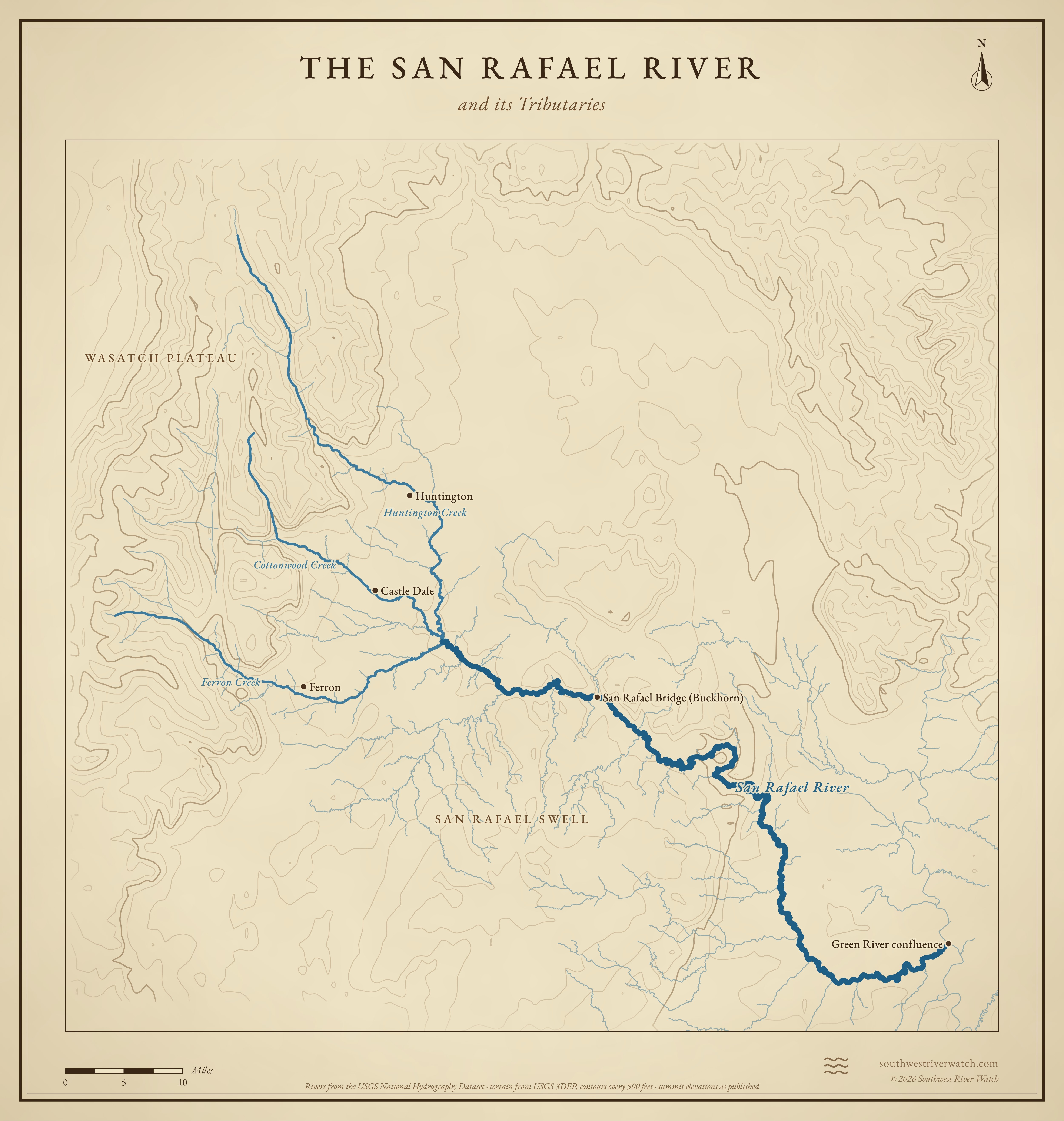
The San Rafael River and its Tributaries
Sources
- BLM: Buckhorn Panel
- Wikipedia: Buckhorn Draw Pictograph Panel
- Utah Division of State History: The Spanish Trail cut a roundabout path through Utah
- Online Utah: History of the San Rafael Swell
- Utah Division of State History: Emery County
- Wikipedia: Emery County, Utah
- Historic American Engineering Record UT-60: San Rafael Bridge (Library of Congress)