Where the Colorado River comes from
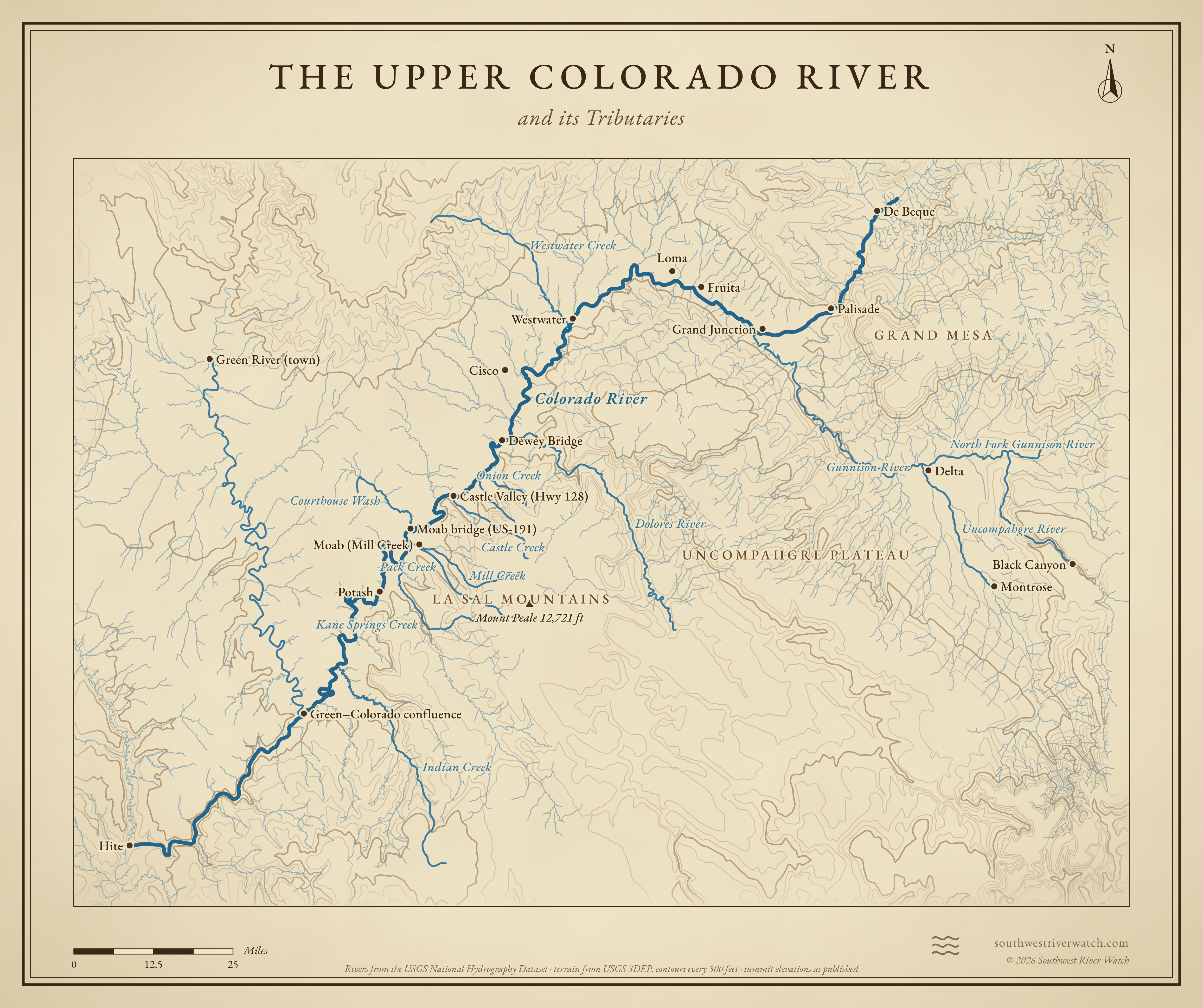
From the Never Summer Mountains in Rocky Mountain National Park, across western Colorado, past Moab to the Green River confluence and Cataract Canyon.
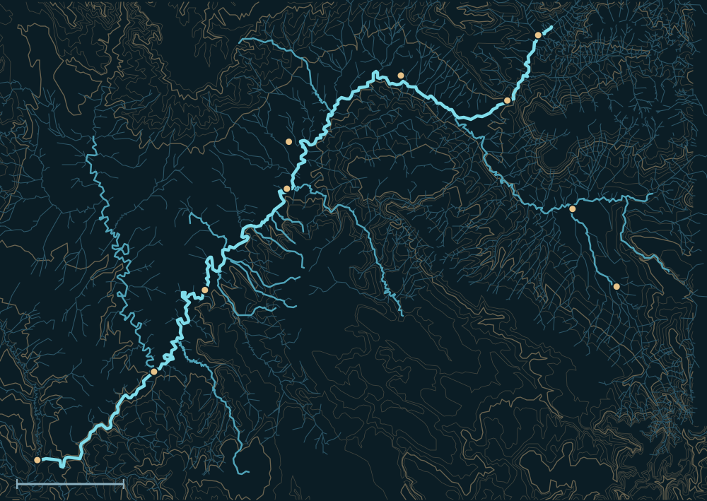 La Sal MountainsGrand MesaUncompahgre PlateauColorado RiverDe BequePalisadeLomaCiscoDewey BridgePotashMontroseDeltaGreen–Colorado confluenceHiteIndian CreekWestwater CreekCourthouse Wash25 miles
Headwaters

Rocky Mountain National Park
The Colorado begins as a small stream near La Poudre Pass in the Never Summer Mountains and runs down the Kawuneeche Valley to Grand Lake and Lake Granby. Much of its high-country water is sent east under the Continental Divide to Colorado's Front Range.1,2
The Grand River
Until 1921 the river above its meeting with the Green was called the Grand River. It gathers the Eagle and the Roaring Fork through Gore and Glenwood canyons, then the Gunnison at Grand Junction.3,4
Into Utah
Below Grand Junction the river runs through Ruby, Horsethief and Westwater canyons into Utah. The Dolores comes in from the San Juan Mountains near Dewey Bridge, and the river passes Professor Valley and Moab on its way into Canyonlands.5,6
The river, top to bottom

- Never Summer MountainsThe river starts in Rocky Mountain National Park.
- Grand Lake & Lake GranbyWater is diverted east across the Divide.
- Glenwood SpringsThe Roaring Fork joins.
- Grand JunctionThe Gunnison joins, carrying the Uncompahgre and North Fork.
- Westwater CanyonWhitewater gorge at the Utah line.
- Dewey BridgeThe Dolores joins.
- Professor Valley & MoabOnion, Castle, Professor and Mill creeks come in.
- The Confluence & Cataract CanyonMeets the Green, then runs through Cataract Canyon to Lake Powell.
Main tributaries
| Stream | Joins | Notes |
|---|---|---|
| Gunnison River | Grand Junction, CO | Its largest tributary in Colorado; from the Elk and San Juan mountains. |
| Uncompahgre & North Fork | Into the Gunnison | Both on the map, upstream of Grand Junction. |
| Dolores River | Near Dewey Bridge, UT | From the San Juan Mountains; partly held by McPhee Reservoir. |
| Onion & Castle creeks | Professor Valley | Desert creeks that flash in summer storms. |
| Mill & Pack creeks | Moab | From the La Sal Mountains, through town. |
| Indian Creek | Canyonlands | Drains the Needles country. |
Why it matters for floods
Snowmelt from the Colorado Rockies brings the river its long high water in late May and June. Below Grand Junction, summer thunderstorms on the desert creeks around Moab can flood roads and town streets within an hour, while the main river barely rises.2,6 The live map watches the gauges along the way.
The Upper Colorado River and its Tributaries