Upper Colorado River

Upper Colorado River

Called the Grand River until 1921, it carries Rocky Mountain snowmelt through Grand Junction, Moab and Canyonlands.
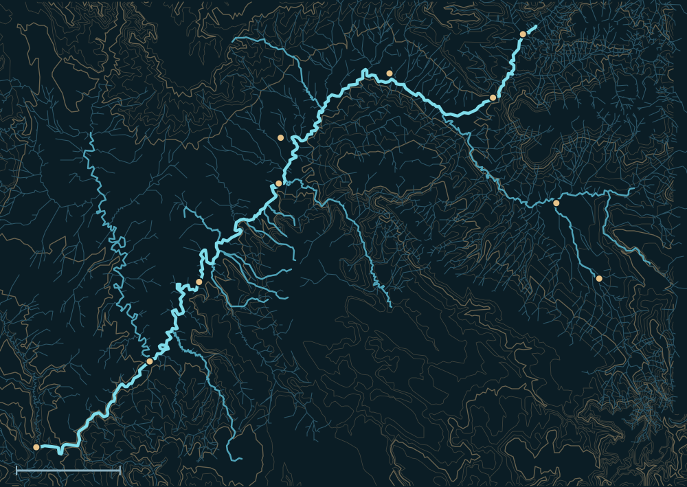
Map of the Upper Colorado RiverLa Sal MountainsGrand MesaUncompahgre PlateauColorado RiverDe BequePalisadeLomaCiscoDewey BridgePotashMontroseDeltaGreen–Colorado confluenceHiteIndian CreekWestwater CreekCourthouse Wash25 miles
Upper Colorado River. River lines from the USGS National Hydrography Dataset.
Where the Grand (today's Colorado) meets the Green, seen from the canyon rim by the Powell Survey in the 1870s.
Where the Grand (today's Colorado) meets the Green, seen from the canyon rim by the Powell Survey in the 1870s.Powell Survey (John K. Hillers). U.S. National Archives, public domain · source

People and the river

Rock towers of what is now Colorado National Monument, above the Colorado at Grand Junction; W. H. Jackson, late 1800s.
Rock towers of what is now Colorado National Monument, above the Colorado at Grand Junction; W. H. Jackson, late 1800s.W. H. Jackson, Hayden Survey. U.S. National Archives, public domain · source
  1. For centuriesThe Grand Valley and Uncompahgre country were Ute homeland.1
  2. 1869Powell's expedition ran Cataract Canyon below the Green River confluence.2
  3. 1921Congress renamed the Grand River the Colorado, so the name runs from the Colorado headwaters to the sea.3,1

Biggest flows

A side canyon of Cataract Canyon, where the Colorado drops through its biggest rapids above Lake Powell; Powell Survey, 1870s.
A side canyon of Cataract Canyon, where the Colorado drops through its biggest rapids above Lake Powell; Powell Survey, 1870s.Powell Survey (John K. Hillers). U.S. National Archives, public domain · source
~125,000cfs
Colorado at Fruita, July 1884: the largest known snowmelt flood on the Colorado and Gunnison4
estimated
81,100cfs
Colorado near Fruita, June 16, 19214
measured
76,800cfs
Colorado near Cisco, June 19, 19174
measured

Measured: a USGS gauge reading. Estimated: reconstructed after the fact from high-water marks or flood deposits. Provisional: USGS readings not yet reviewed.

Floods that mattered

1884, 1917, 1921

Huge snowmelt years flooded the Grand Valley; 1921's flood was swollen further by rain.4

Oct 2026: Moab

Storms raised Mill and Pack creeks through Moab, closing the Mill Creek Parkway and low-water crossings.5

The Upper Colorado River and its Tributaries
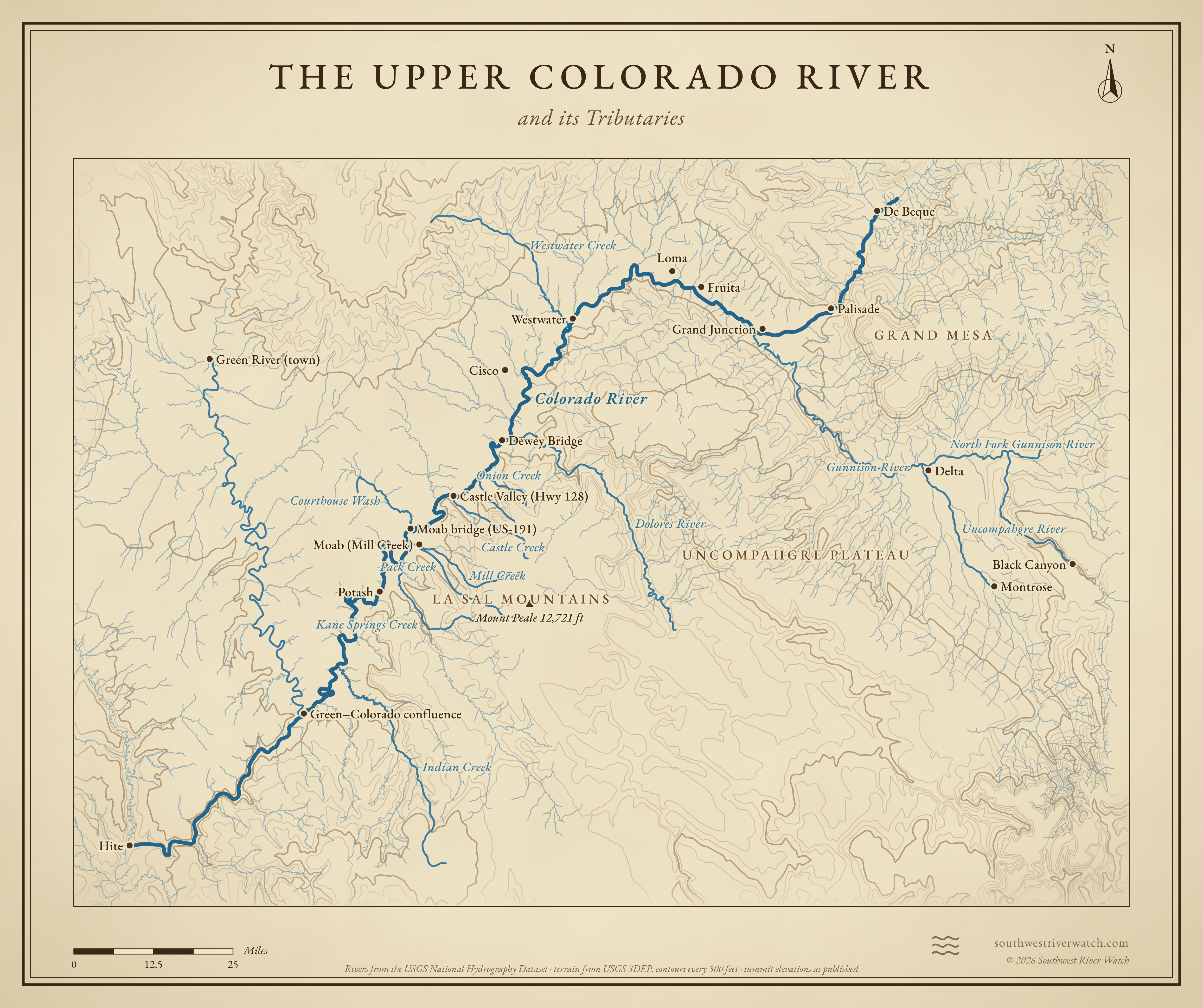
Map of the Upper Colorado River and its tributaries in western Colorado and eastern Utah, with La Sal Mountains, Grand Mesa, Uncompahgre Plateau: rivers, side canyons, contour lines and summit elevations, in a classic survey style.
A classic map of the river and the mountains around it. Full size · Vector (SVG) · © 2026 Southwest River Watch
Sources
  1. Grand Valley (Colorado–Utah) (Wikipedia)
  2. Utah Geological Survey: Powell's 1869 river journey
  3. KUNC: How the Grand became the Colorado
  4. Colorado Water Conservation Board: 1884 and 1921 floods on the Colorado
  5. Moab Times-Independent: Water closes Mill Creek Parkway (Oct 22, 2026)