Where Lake Powell's water comes from
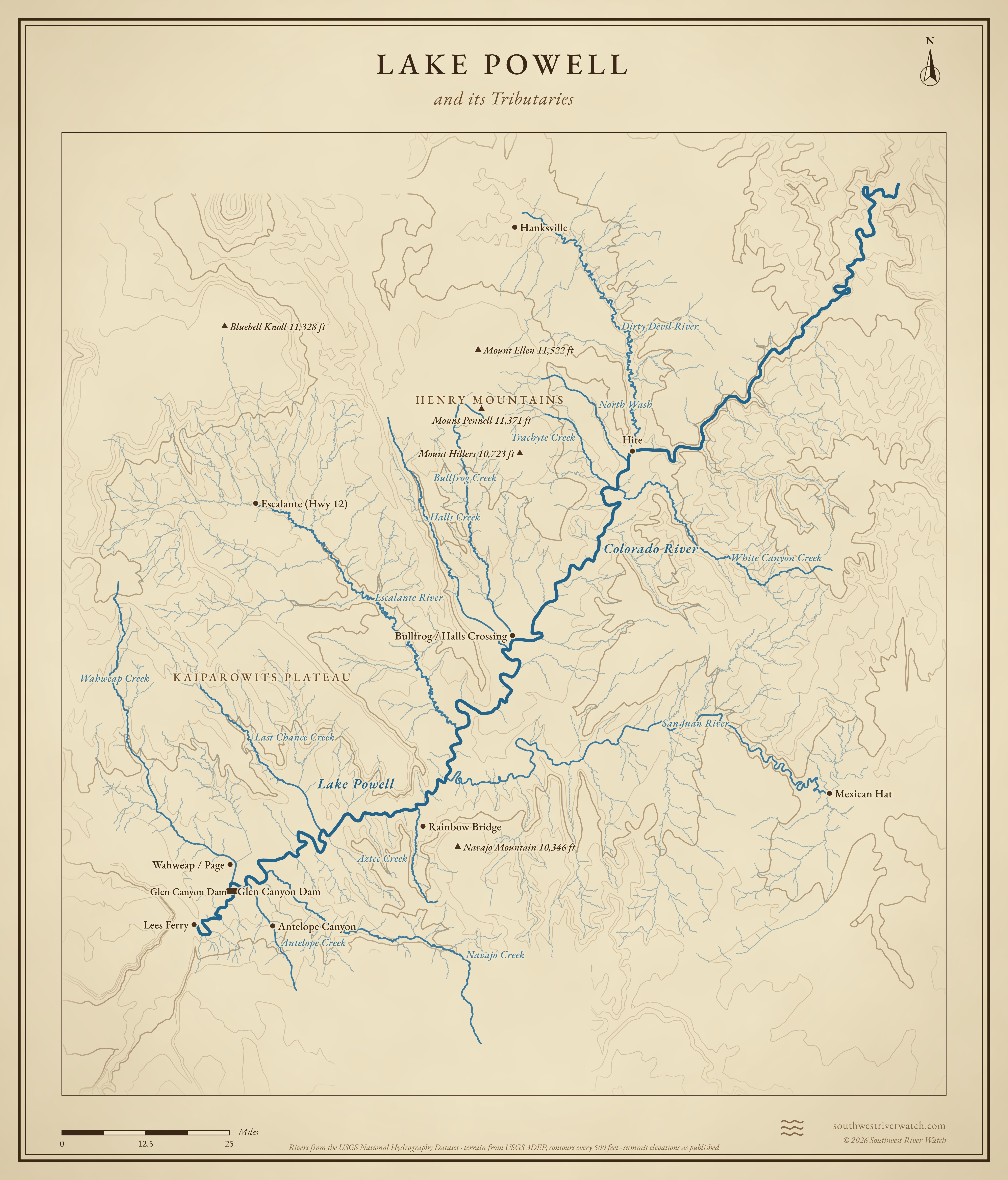
The reservoir behind Glen Canyon Dam, filling about 186 miles of Glen Canyon and its side canyons.
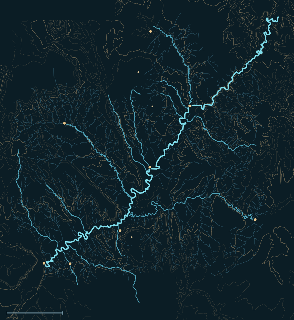 Lake PowellHenry MountainsColorado RiverNavajo Mountain 10,346 ftMount Ellen 11,522 ftMount Hillers 10,723 ftHanksvilleHiteBullfrog / Halls CrossingEscalante (Hwy 12)Mexican HatRainbow BridgeAntelope CanyonLees FerrySan Juan RiverEscalante RiverDirty Devil RiverNavajo CreekWahweap CreekBullfrog CreekNorth Wash25 miles

Headwaters

Rocky Mountain snow
Most of the water in Lake Powell is snowmelt from the Rocky Mountains of Colorado, Wyoming and Utah, carried by the Colorado and Green rivers. They meet in Canyonlands and enter the lake below Cataract Canyon, near Hite. Most of the year's inflow arrives from April to July.1,2
The San Juan
The San Juan, from the San Juan Mountains by way of Navajo Lake and the Animas, enters its own long arm of the lake. It is the lake's second largest river.3,1
Desert rivers and side canyons
The Escalante and the Dirty Devil bring smaller amounts from the high plateaus of southern Utah. Dozens of side canyons, from North Wash to Wahweap, are dry most of the year and run only after storms.4,5,6
The river, top to bottom
- HiteThe Colorado (with the Green) enters from Cataract Canyon; the Dirty Devil joins.
- North Wash, Trachyte & White CanyonSide canyons near Hite.
- Bullfrog & Halls CrossingBullfrog and Halls creeks join; ferry across the lake.
- Escalante armThe Escalante River comes in from the north.
- San Juan armThe San Juan joins from the east.
- Navajo & Antelope creeksSide canyons near Page.
- Wahweap & Glen Canyon DamThe lake ends at the dam; water is released to Lees Ferry and the Grand Canyon.
Main tributaries
| Stream | Joins | Notes |
|---|---|---|
| Colorado River | Hite | With the Green, most of the lake's water. |
| San Juan River | San Juan arm | Second largest; snowmelt plus fall storms. |
| Dirty Devil River | Near Hite | From the Fremont River and Muddy Creek. |
| Escalante River | Escalante arm | Small but flashy. |
| Side canyons | All along the lake | North Wash, Halls, Bullfrog, Navajo, Wahweap and others: dry until a storm. |
Why it matters for floods
The lake rises slowly with each spring's snowmelt from the Rockies. Glen Canyon Dam holds those floods; in 1983 a huge snowmelt year filled the lake and the spillways were damaged. Summer thunderstorms flash the side canyons, which can be dangerous for hikers and boaters even when the lake itself barely moves.2,1 The live map watches the gauges along the way.
Lake Powell and its Tributaries