Where the Verde River and Oak Creek come from
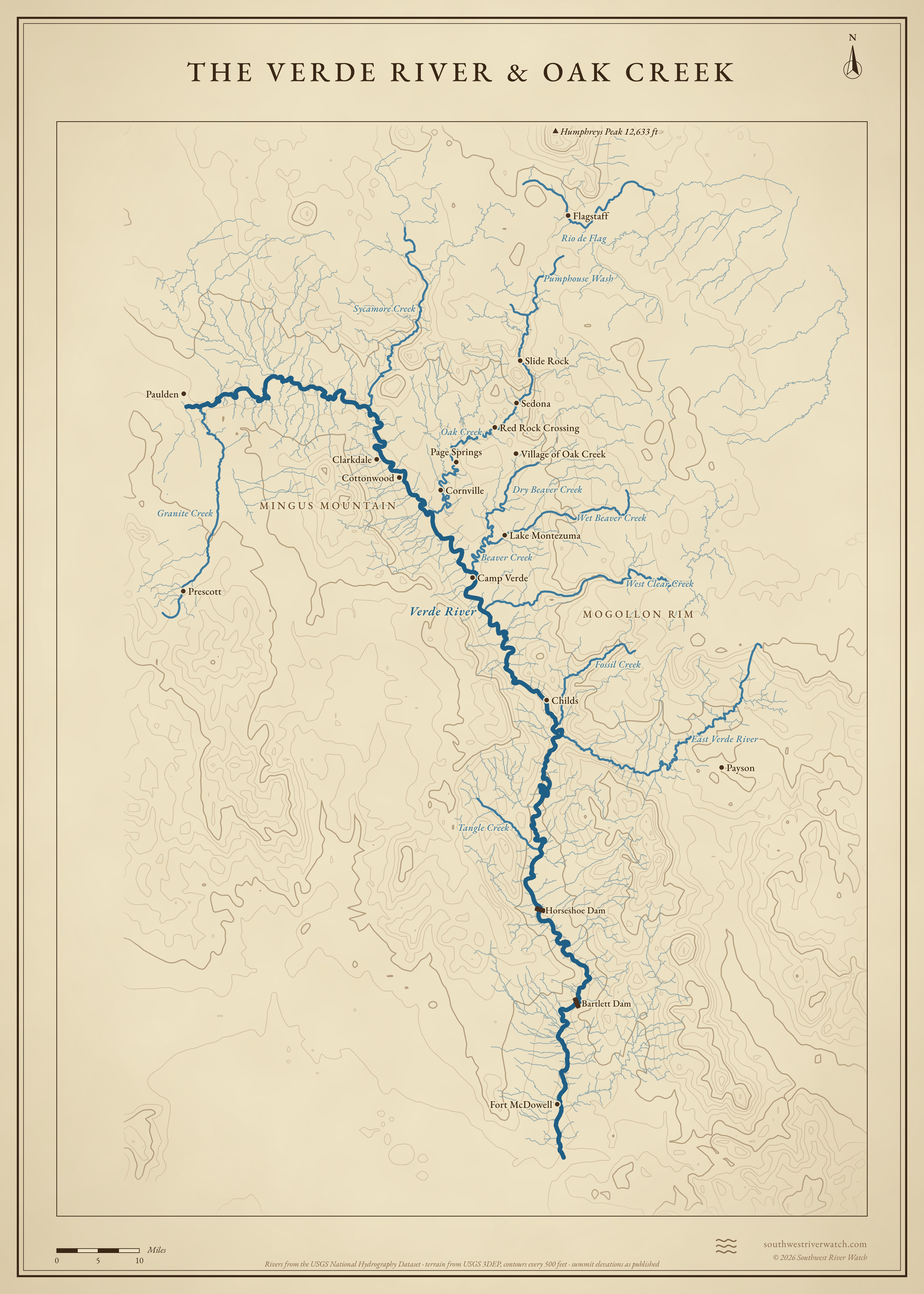
About 170 miles from near Paulden, through the Verde Valley, to the Salt; Oak Creek comes down from the plateau south of Flagstaff through Sedona.
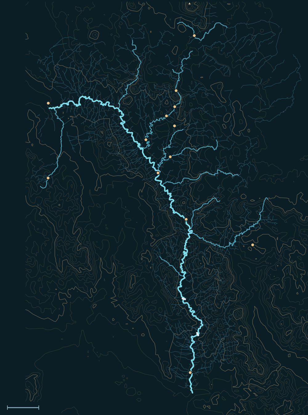 Mogollon RimVerde RiverHumphreys Peak 12,633 ftFlagstaffSlide RockSedonaRed Rock CrossingVillage of Oak CreekCornvillePauldenPrescottLake MontezumaCamp VerdeChildsPaysonFort McDowellHorseshoe DamBartlett DamOak CreekEast Verde RiverGranite CreekSycamore CreekRio de FlagFossil CreekTangle CreekPumphouse WashBeaver Creek10 miles
Headwaters
The upper Verde
The Verde begins near Paulden, north of Prescott, and runs east through a canyon past Perkinsville to Clarkdale and Cottonwood. Granite Creek comes in from Prescott near its start. In all the river runs about 170 miles and drains about 6,600 square miles.1,2
Oak Creek
Oak Creek starts on the forested plateau south of Flagstaff, where Pumphouse Wash drops into Oak Creek Canyon. It runs past Slide Rock and through Sedona and Red Rock Crossing, then past Page Springs and Cornville to the Verde.2,3
The rim creeks and the Rio de Flag
Sycamore Creek, Wet and Dry Beaver creeks (which become Beaver Creek), West Clear Creek and Fossil Creek drain the Mogollon Rim into the Verde. On the far side of the divide, Flagstaff's Rio de Flag runs northeast through town to San Francisco Wash and the Little Colorado.2,4
The river, top to bottom
- PauldenThe Verde begins; Granite Creek joins from Prescott.
- Perkinsville to ClarkdaleA canyon reach; Sycamore Creek joins from the north.
- CottonwoodThe Verde Valley opens out.
- Below CornvilleOak Creek joins, from Sedona and Oak Creek Canyon.
- Camp VerdeBeaver Creek joins; West Clear Creek just below.
- Beasley Flats to ChildsThe Wild and Scenic stretch begins; Fossil Creek joins near Childs.
- Below ChildsThe East Verde joins from Payson.
- To the SaltHorseshoe and Bartlett reservoirs, Fort McDowell, then the Salt near Fountain Hills.
Main tributaries
| Stream | Joins | Notes |
|---|---|---|
| Oak Creek | Below Cornville | Oak Creek Canyon, Slide Rock, Sedona. |
| Granite Creek | Near Paulden | From Prescott. |
| Sycamore Creek | Above Clarkdale | Sycamore Canyon wilderness. |
| Beaver Creek | Camp Verde | Wet and Dry Beaver creeks off the rim; Lake Montezuma. |
| West Clear Creek | Below Camp Verde | A long rim canyon. |
| Fossil Creek | Near Childs | From the Mogollon Rim. |
| East Verde River | Below Childs | From Payson and the Mogollon Rim. |
| Rio de Flag | San Francisco Wash | Flagstaff; drains to the Little Colorado, not the Verde. |
Floods
The Verde's biggest floods come in winter, when storms rain on snow along the Mogollon Rim and the San Francisco Peaks, as in 1993; Oak Creek rose almost 7 feet in 12 hours in March 2023. Summer thunderstorms flash the side canyons and Sedona's washes.1,5 The live map watches the gauges along the way.
The Verde River & Oak Creek